Cloudy Top
An old nemisis from our early years
2/13/20261 min read
In 2005, Jim and I had learned of an alternate way in that would eventually take us by a known survey monument that I needed to record for the staking. This route, which we now refer to as the "High Route", basically followed the ridge lines back to where we needed to go. At the parking lot we ran into Jim Smith, who knew the whole area like the back of his hand.
We spoke with Jim and asked his opinion if he thought we could make it back in there, which is roughly a 15 mile trip. I'll never forget Jim's response....after looking at me, Jim and Lenny, he simply said. "A fellow can get turned around back there".
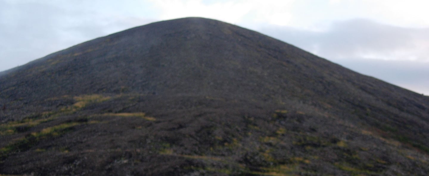
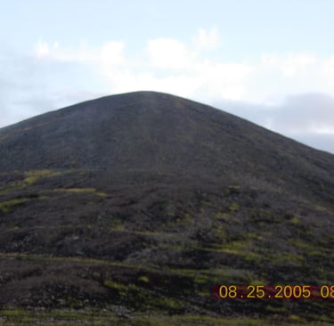
You don't say? Undaunted, we set forth in my Rhino with Jim on a Honda ATV90 3-wheeler. By the way, there's a reason that Honda got out of the 3-wheeler business. By the time we got about 4 miles in the ceiling was starting to drop. Jim was scouting ahead on the 3-wheeler and made to the summit of Hill 3385. But he was completely socked in. We basically used radio direction finding to bring him back to our side so he could pick up the trail and head back over to where we were. We headed back down to the parking lot. All of this was well before the State changed the opener for the Caribou season, which would send a lot more traffic down to the Chena Hot Springs area. We promptly renamed Hill 3385 "Cloudy Top" based on our experience. It would not be the last either.
The east side of Cloudy Top is one long run down a talus slope. Sidewall gashes on your ATV can happen if you don't pay attention. On a trip in during 2015, John managed to capture some of the trail on a GoPro. Enjoy.

Contact
Questions about the upper20?
Phone
info@theupper20.com
© 2025. All rights reserved.