The Staking Trip
This story involves the events to stake the upper20 in 2005 after the State of Alaska postponed the staking window due to damage from the Wolf Creek Fire.
5/11/20244 min read
After the fire of 2004, the State of Alaska closed the Far Mt staking area until the following year to give the land some recovery time. Winter would push some of those hazard tress down and give me a little more time to select a vehicle to haul in the staking supplies. I eventually settled on a Yamaha Rhino UTV.
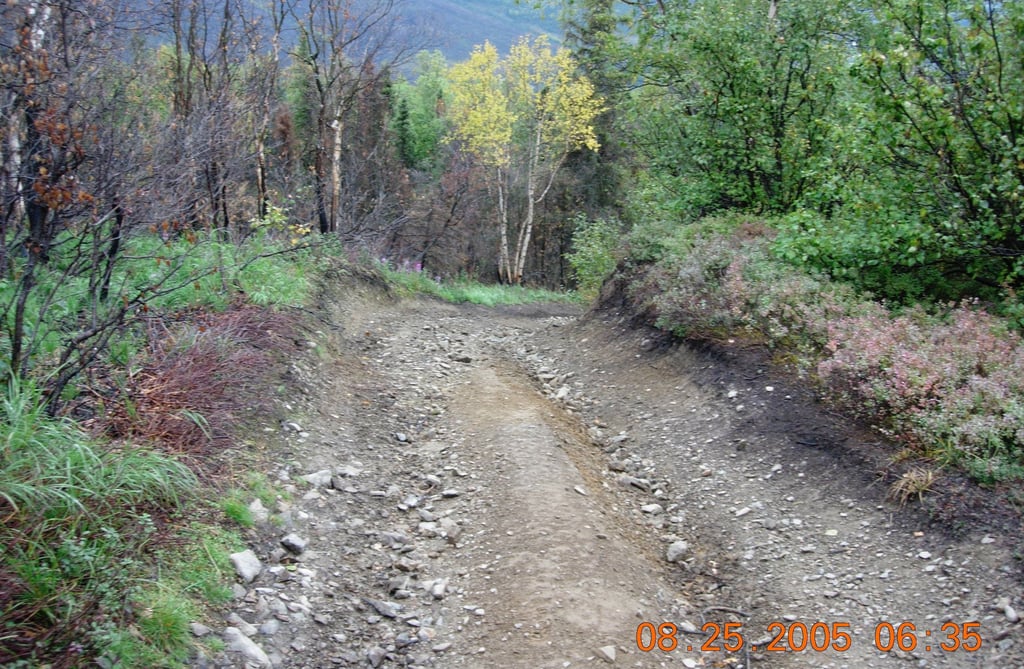
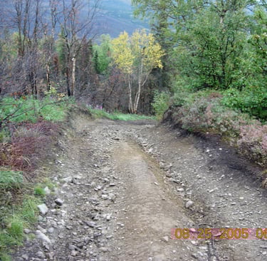
We learned of a potential alternate rout that would bypass the river crossings and bog trail. This trail gains 1500' in about a mile as the trail breaks above timberline. The bottom section is used by a local jeep club and is considered a class 4 trail.
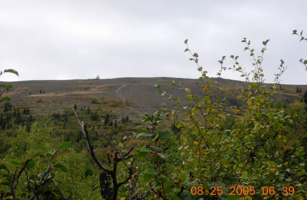
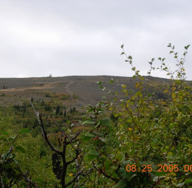
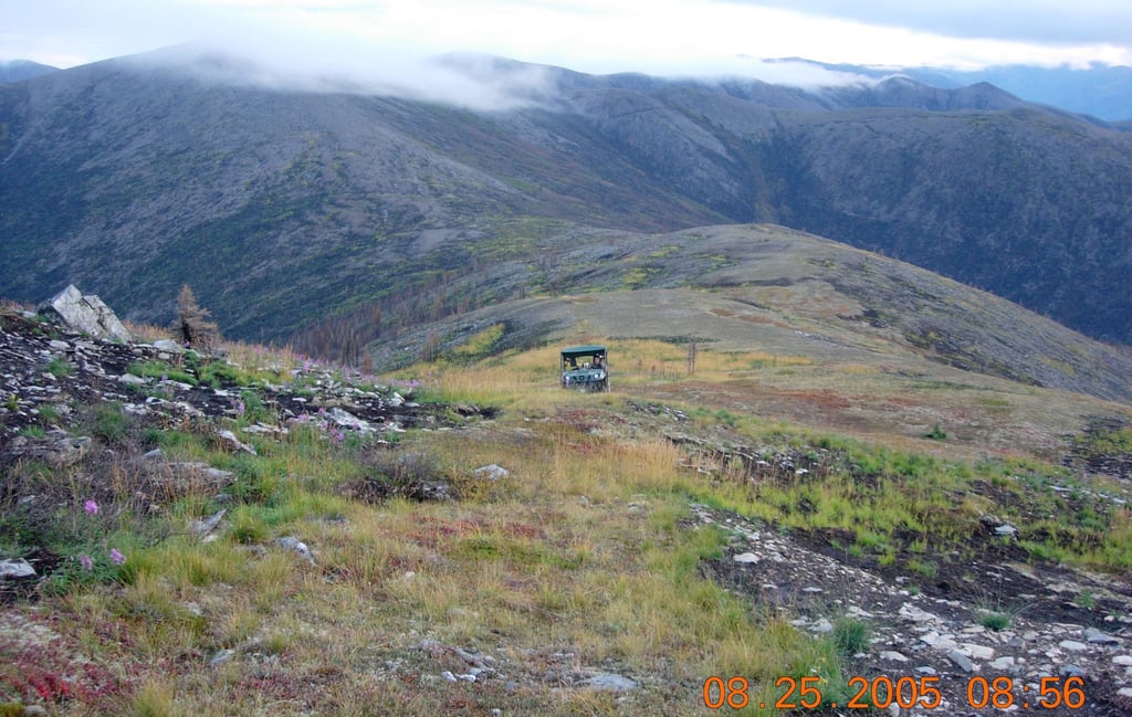
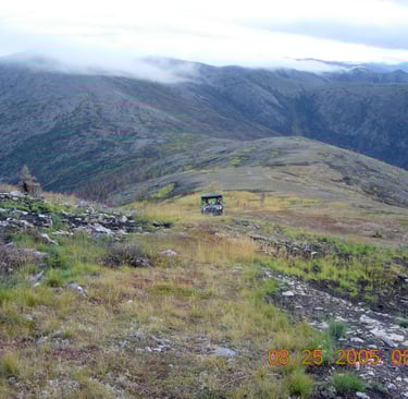
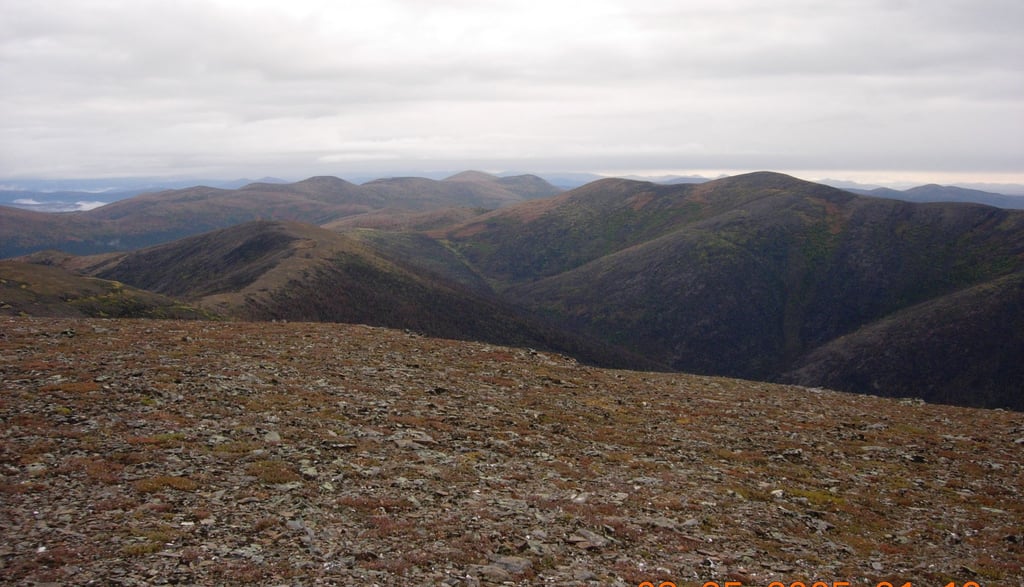
Just below timberline. You can see parts of the of the Chena Hot Springs-Steese Highway trail ahead.
The trail gets harder to find, which is why we built a map with waypoints. I wound up walking quite a bit just to check terrain.
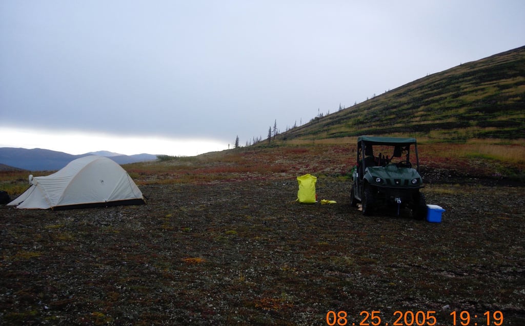
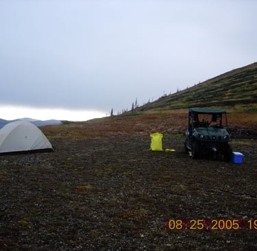
We made camp for the night in this spot, which is in a saddle and offered pretty good protection from the wind.
This required a bit of scouting. The higher of the two peaks on the next ridge is CM-6. I must reference my number #1 corner post to this known survey monument. You follow that ridgeline a couple of miles south and it brings you to Shifty's hill. The problem is getting up on that guy. The Chena Hot Springs-Steese Hwy trail breaks left and we need to go right. The route would result in what we call High Pass/Low Pass. High Pass is at the saddle between the two peaks and the trail almost follows a line straight down. At the bottom is a 1/4 mile of bog trail we call Low Pass.
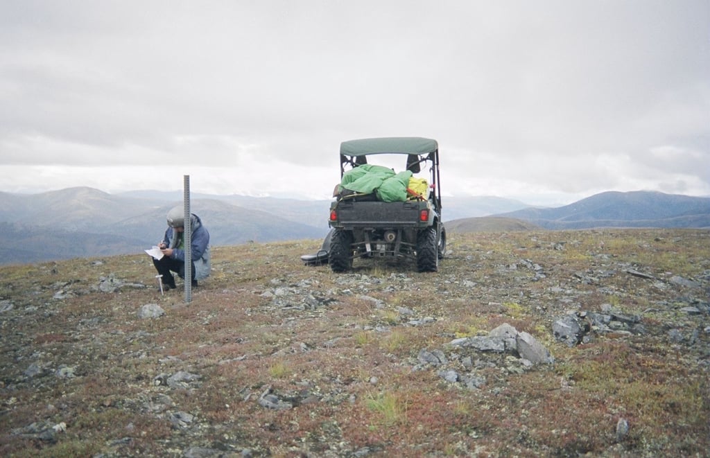
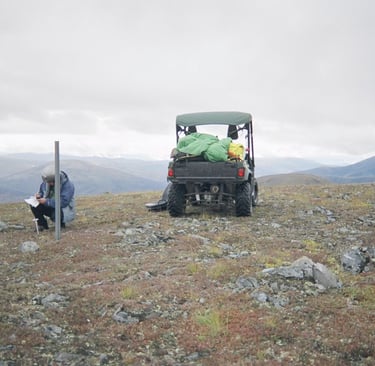
Recording information at CM-6. Almost there now.
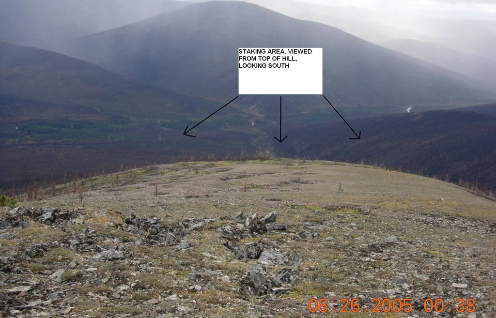
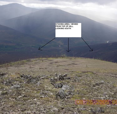
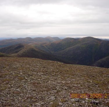
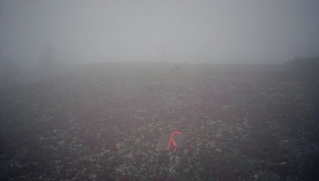
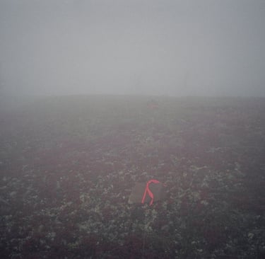
The Upper 20, viewed from Shifty's Hill. The weather changed shortly after we arrived, but the land has begun healing nicely
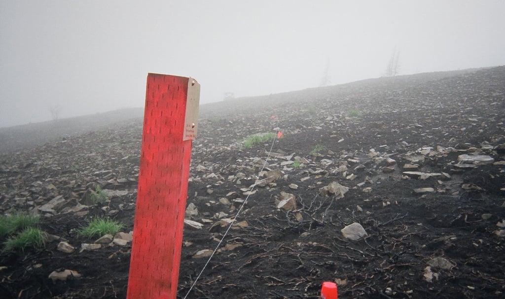
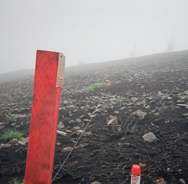
One of four corner posts we installed. The number #1 corner post is referenced by bearing and distance to CM-6, a known survey monument.
You must brush and flag your line every 25 feet. You submit a map with the details back to DNR with pictures as proof the staking occurred. If your boundary lines are off (overstaking for example), the surveyor will correct your lines accordingly.
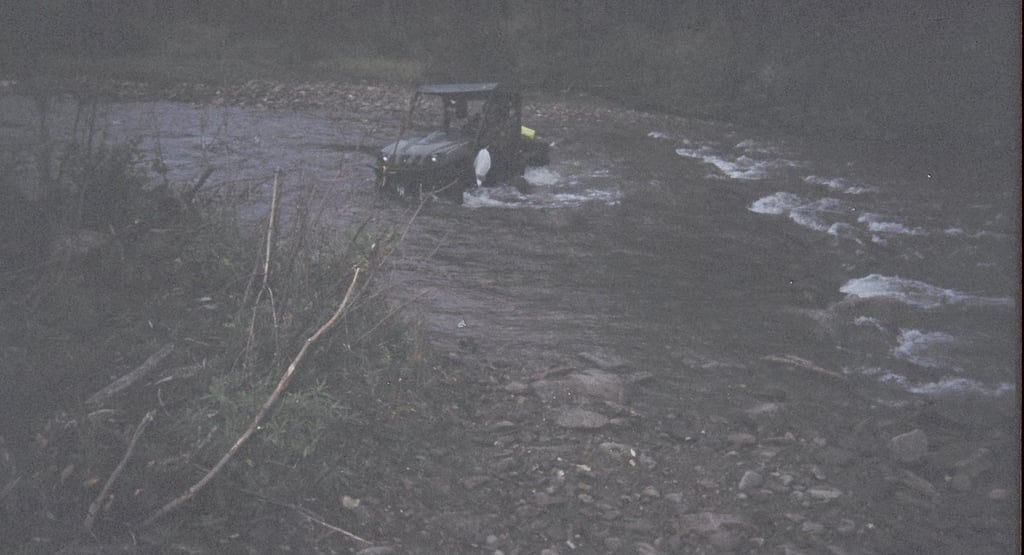
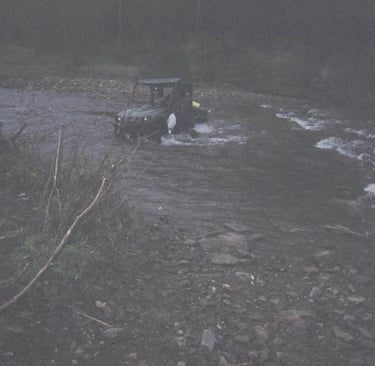
With the weather essentially at zero visibility, Jim and I decided to go out the low route as we hadn't gone out the high route yet. We've since gone out several times in zero/zero conditions because we know the trail now. But we hadn't had the opportunity yet. The State of Alaska will actually let you build a 5 foot trail with hand tools across state land which then becomes an automatic public easement. All other public easements regarding your property are limited by the property boundaries themselves.
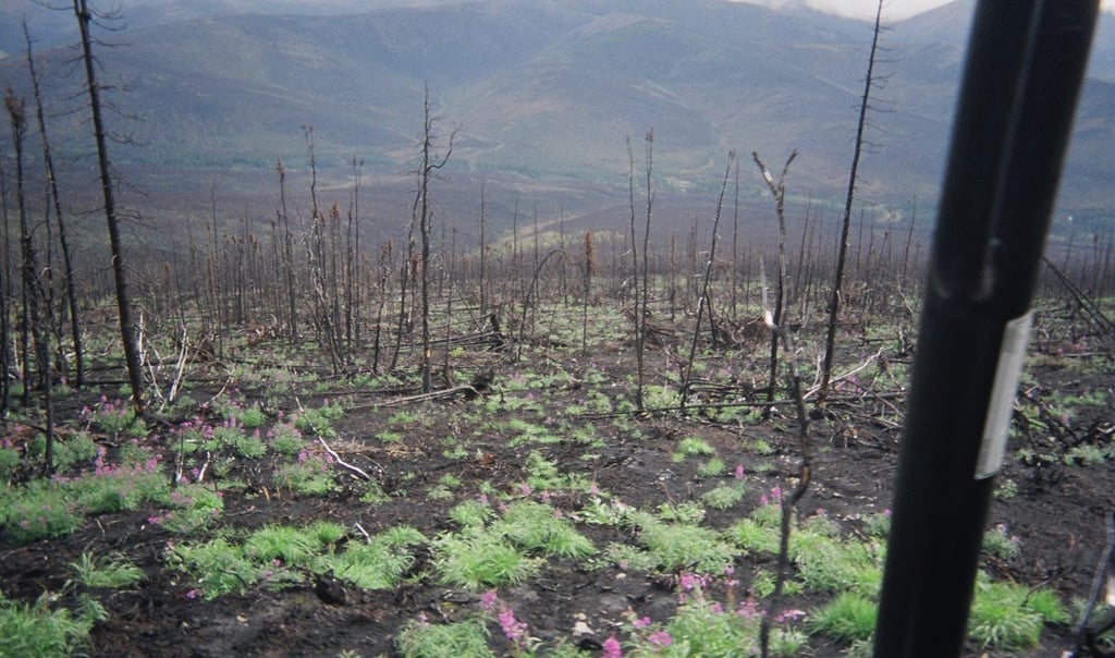
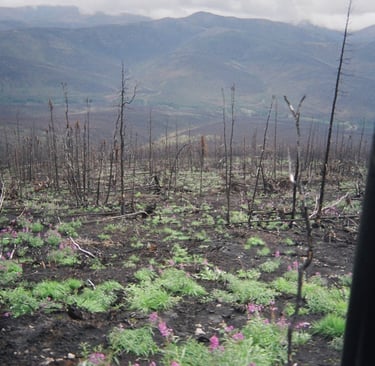
More signs of recovery. Of the 75 staking authorizations granted, only 19 people actually completed the process over 45,000 available acres.. I've often thought about this. I spoke with a local lodge owner who grumbled that "it's all burned up back there". I question how many people understand the Borealis forest cycle. Black spruce marked the final stage and those trees were born to burn. Hardwoods are first back, improving moose habitat. More on this at a later time.
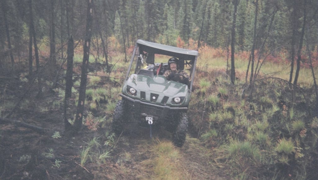
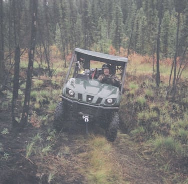
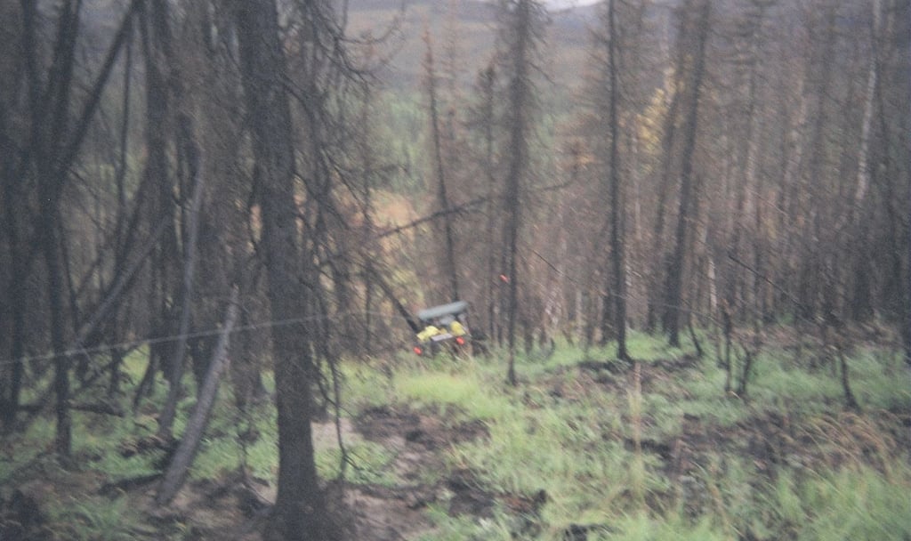
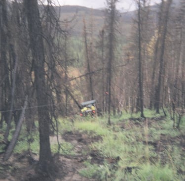
On the main trail now with Jim behind the wheel
Contact
Questions about the upper20?
Phone
info@theupper20.com
© 2025. All rights reserved.